Drones
Taking your project to new heights
SDC’s licensed drone pilots work alongside our surveying and design team to pair the latest drone flight technology with cutting edge software to capture an extraordinary amount of data. Our aerial models feature unmatched detail, accuracy, and efficiency for your Project. We are on the forefront of drone technology and use our aerial capabilities to enhance each drone project.
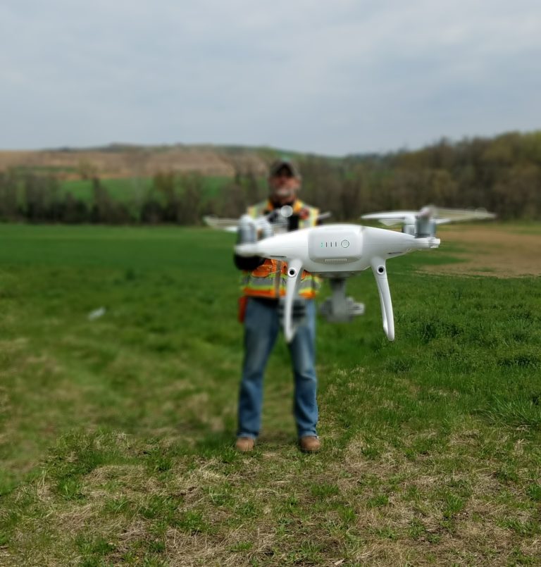
SDC provides the following drone services:
- Aerial Topographic Survey
- Aerial Photogrammetry
- Aerial Quantities Survey
- Drone Utility Inspections
- Aerial Photography / Videography
- 3D Imaging / Rendering
- Aerial Safety Inspections