Measuring every detail from start to finish
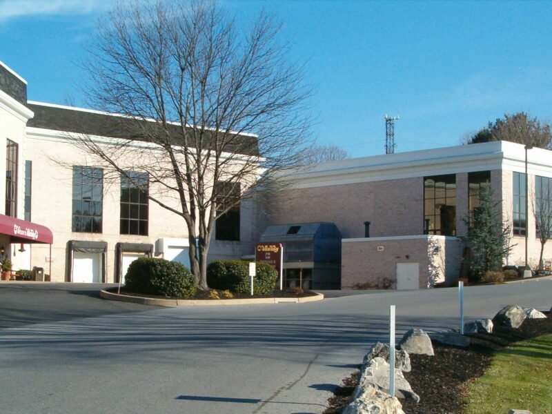
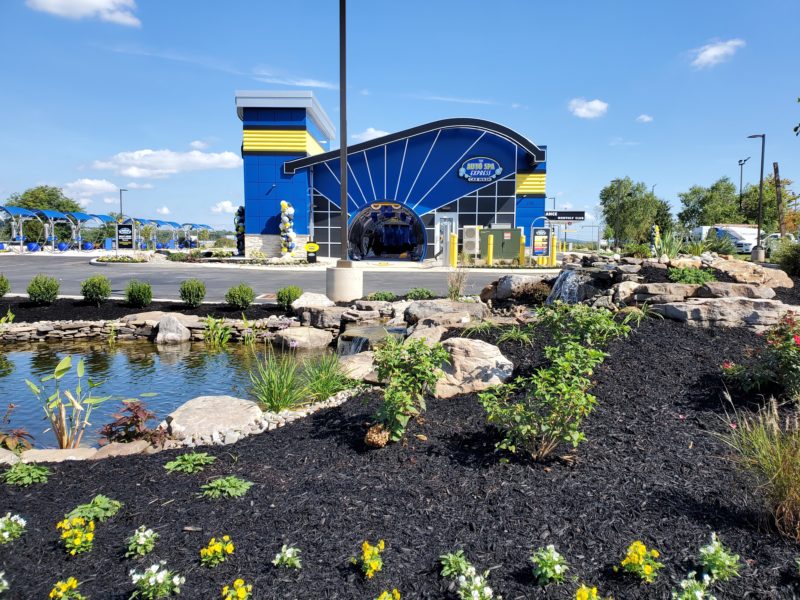
Surveying is the basis on which all sites are designed and constructed. SDC’s experienced surveyors determine the property boundaries of each site, map the site’s features both on and below the ground, site elevations, prepare plans to subdivide or consolidate parcels, and stake out the improvements that will be constructed.
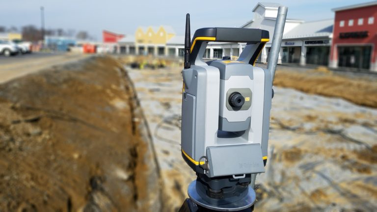
Our land surveying team uses the most up to date robotic total station equipment which expedites the field work process allowing your Project to be mapped efficiently and accurately. Our GPS equipment can communicate with both the United States’ GPS system and the Russian GLONASS system to obtain quicker lock and a higher degree of precision than either system can provide alone. Our surveyors then coordinate with our creative civil design team to deliver the Project from the initial survey through construction.
SDC provides the following surveying services:
- Subdivision and Consolidation Plans
- ALTA/NSPS Land Title Surveys
- Boundary and Property Line Surveys
- Property Research
- Legal Descriptions of Properties
- Drone Aerial Mapping
- Topographic Surveys
- GPS/State Plane Surveys
- FEMA Flood Elevation Certificates
- FEMA Letter of Map Amendment Reports
- Record Surveys and Plans
- Cellular Tower Pad Design
- Construction Stakeout
- Existing Site Conditions Plans